Cross Section and Pebble Count
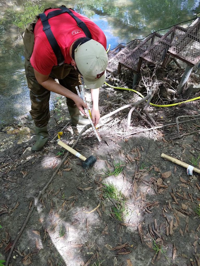
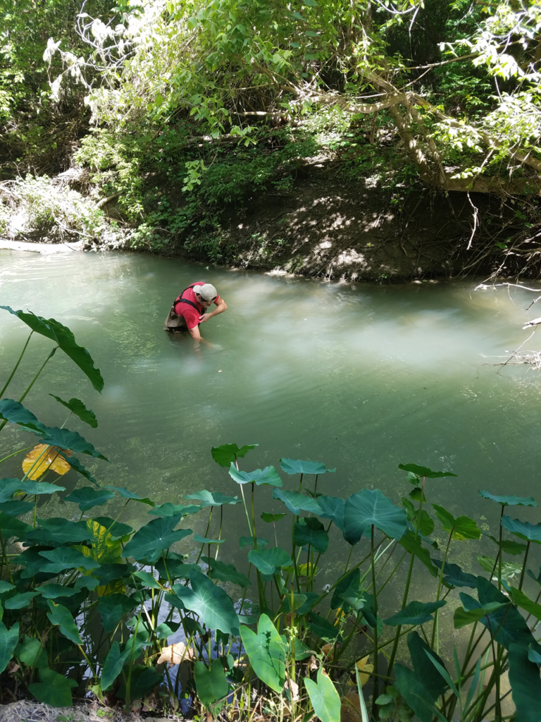
Each site has four cross sections located at the beginning, the end and two in the middle evenly spaced out. On March 12, 2018, our team performed surveys and pebble counts of each cross section and longitudinally along the total 300-foot span of the creek including the 100-foot buffer located between the restored and control sites. The survey produces elevations for the data points allowing a holistic view of the shape and morphology of the creek. The pebble counts indicate the average substrate type and size that makes up the creek at the different sections. At the beginning of the restoration site, a riffle with mostly gravel substrate gives way downstream to slower pools with compacted shale.
Erosion Pins
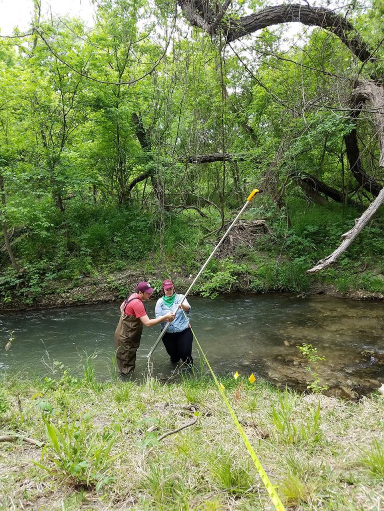
Erosion pins were also placed at each cross section along both banks at the bankfull depth, 2 feet above the bankfull depth and 4 feet above the bankfull depth. The erosion pins were approximately 3-foot long pieces of rebar that was pounded perpendicularly into the stream bank. The top 6 inches remained above the ground and were painted florescent orange. Quarterly, the erosion pins will be measured to determine the rate of erosion occurring along the stream bank.
Managing Invasives
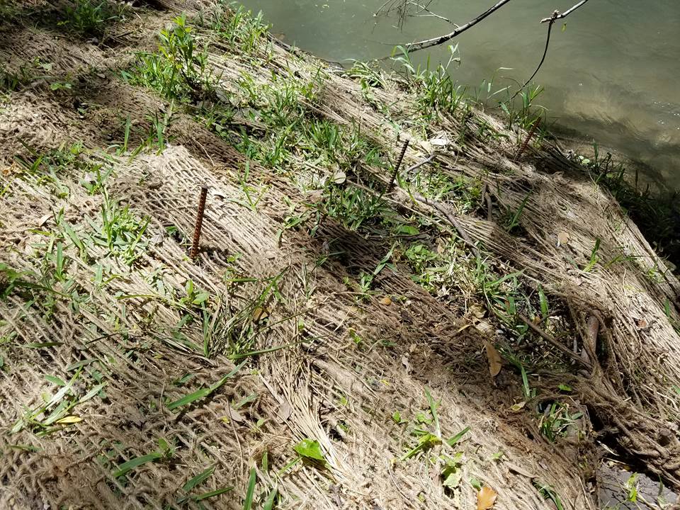
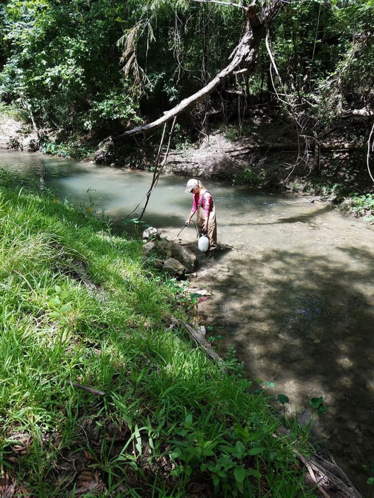
TWRI worked with Texas Parks and Wildlife Department and the Guadalupe-Blanco River Authority to receive authorization to spray invasive elephant ear. On July 13, 2018 the TWRI team sprayed for elephant ears within the project using 1 percent Clearcast (Amazamox) and 0.8 percent Dyne-Amic solution.
Quarterly Measurements
The team took quarterly measurements every three months for four years to monitor erosion along the site. The team also collected Bank Erosion Hazard Index (BEHI), erosion pins, and water quality samples during these trips.
